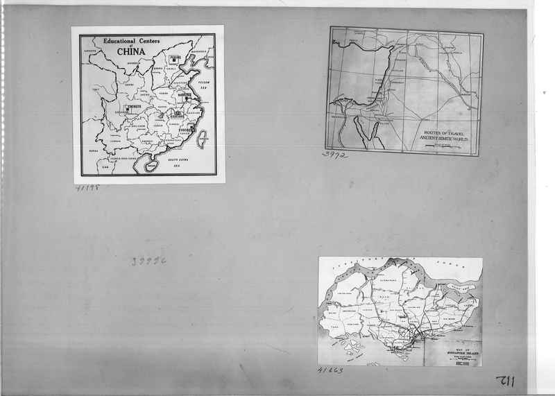
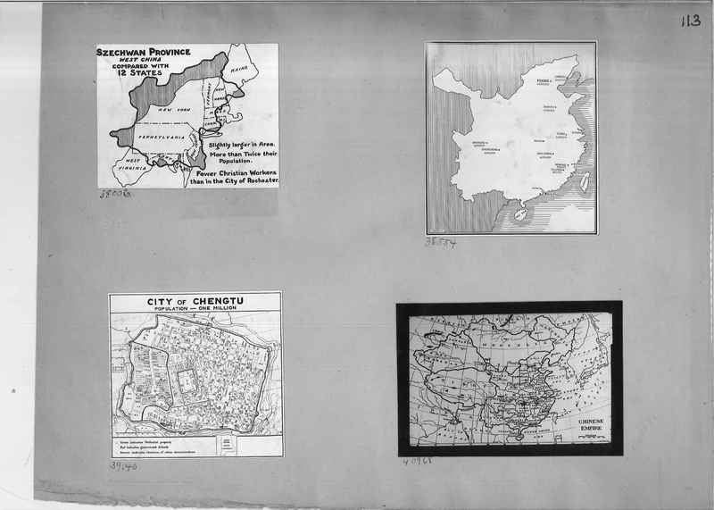
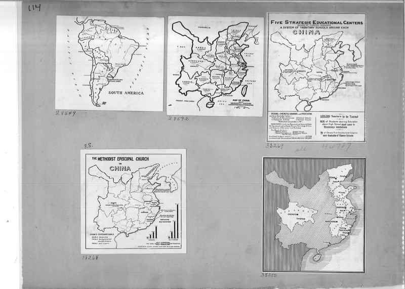
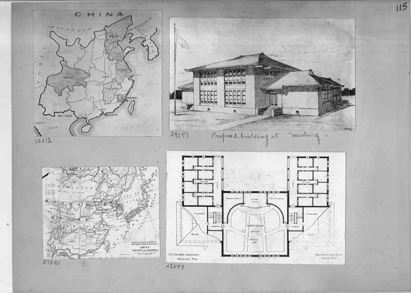
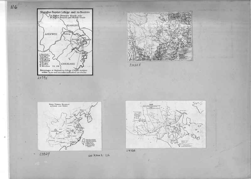
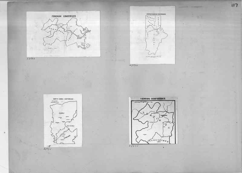
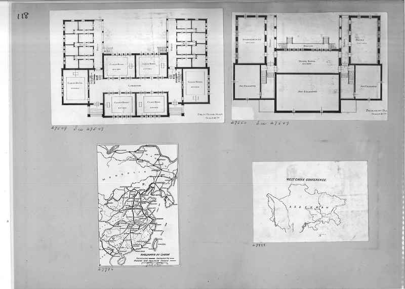
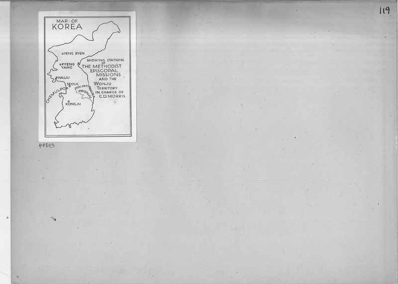
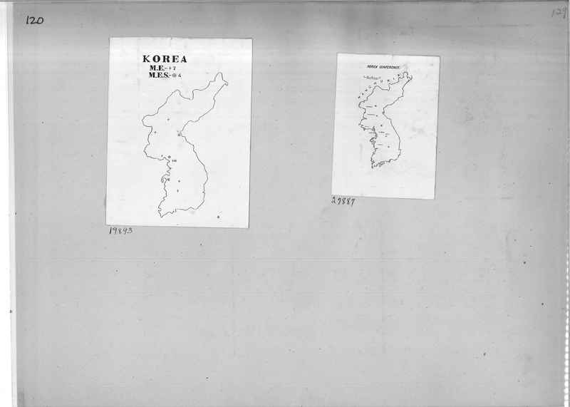
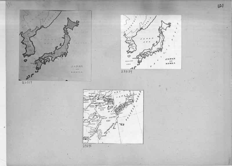
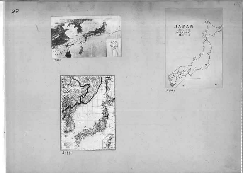
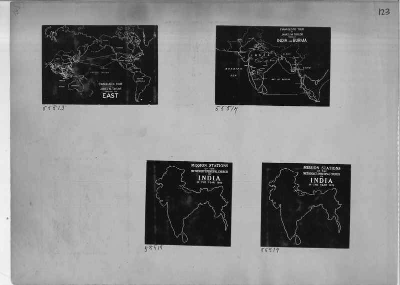
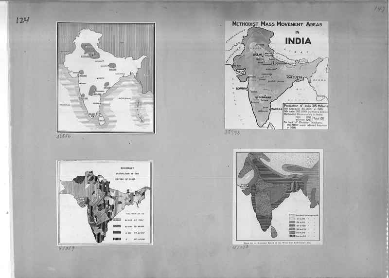
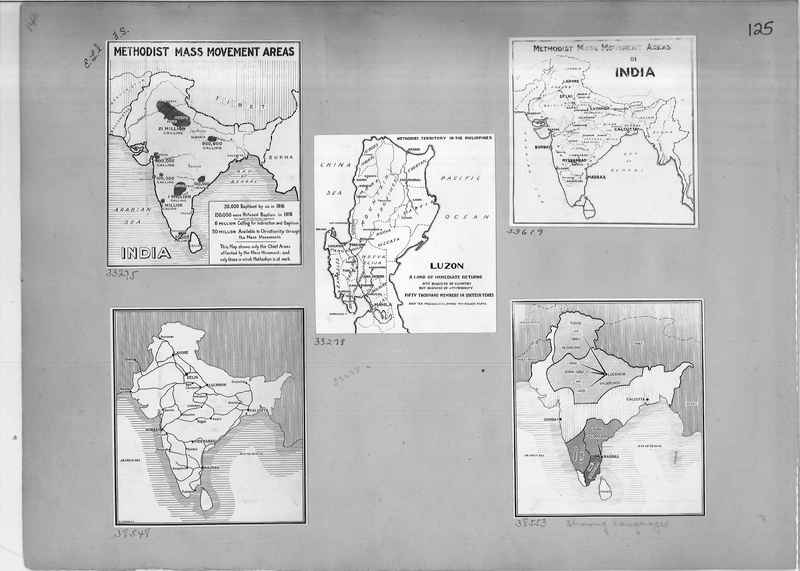
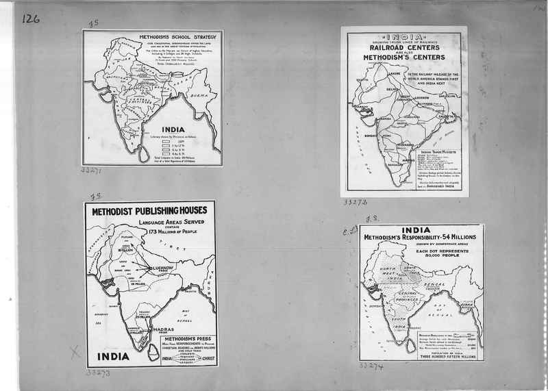
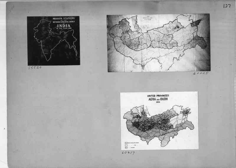
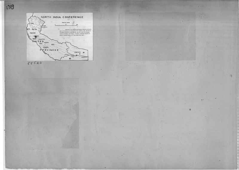
Mission Photograph Album - Maps #1
Dublin Core
Title
Mission Photograph Album - Maps #1
Description
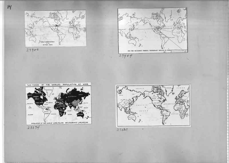
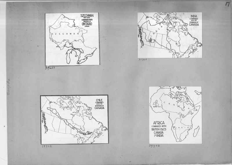
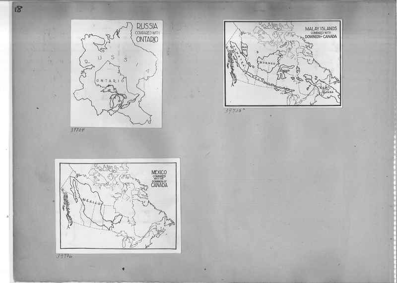
Maps used to characterize aspects of missions.
Date
1920s
Creator
Board of Foreign Missions of the Methodist Episcopal Church
Subject
Maps
Missions
Rights
Permission for use must be obtained from the General Commission on Archives and History. Contact e-mail is research@gcah.org
Publisher
The General Commission on Archives and History of The United Methodist Church. The United Methodist Archives and History Center. Madison, New Jersey
Identifier
Mission Photograph Album - Maps #1
Items in the Mission Photograph Album - Maps #1 Collection
Mission Photograph Album - Maps #01 Page_0005
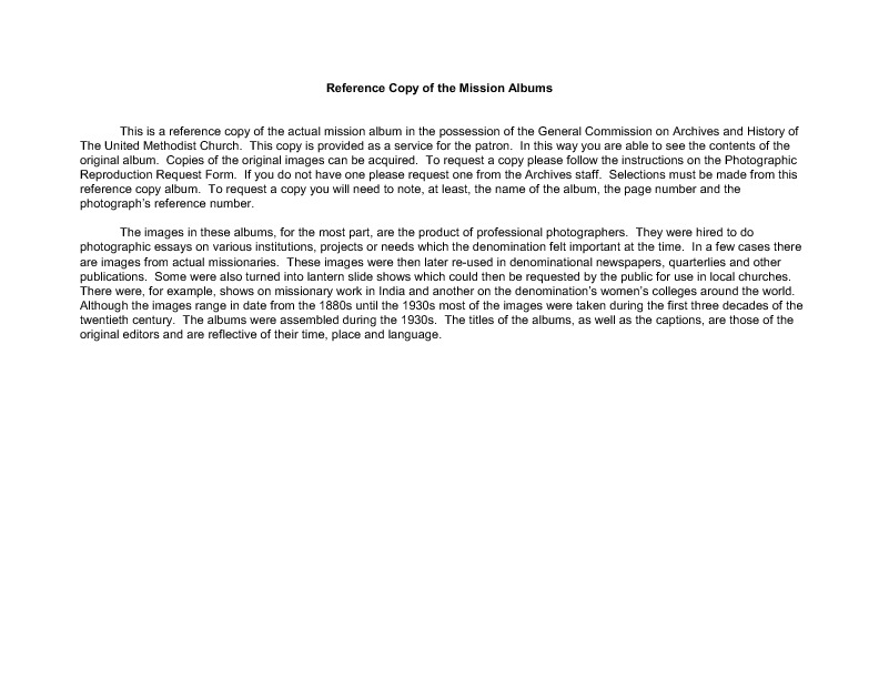
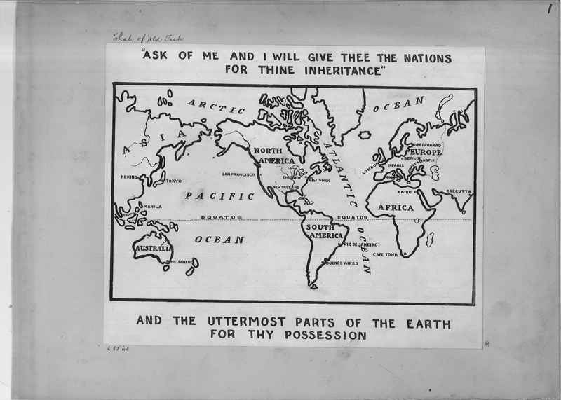
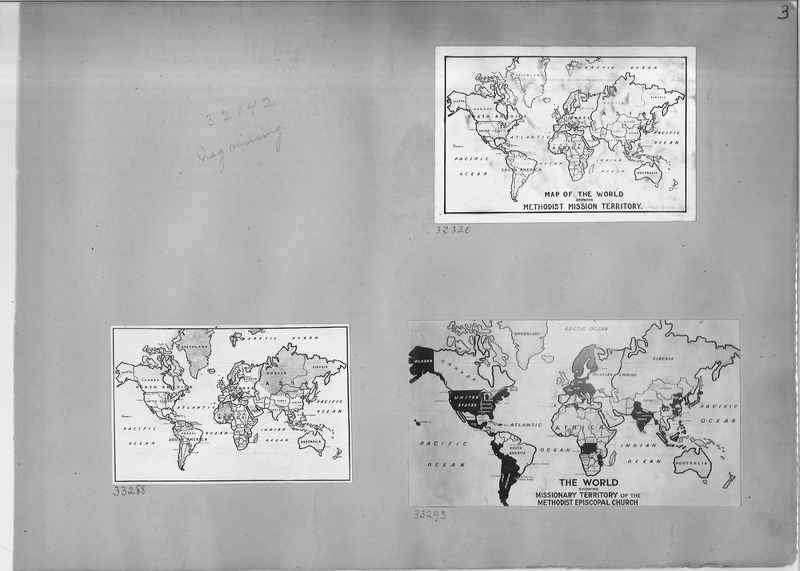
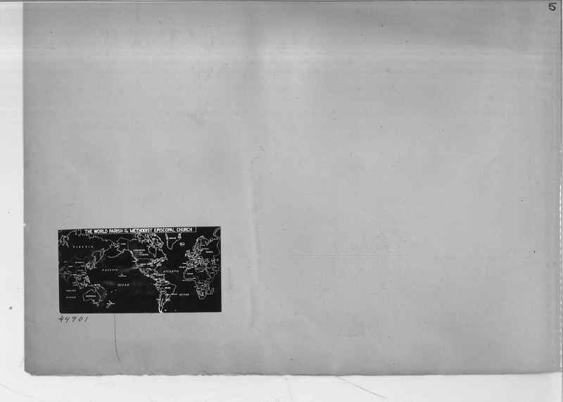
44901 World Parish Map of the Methodist Episcopal Church
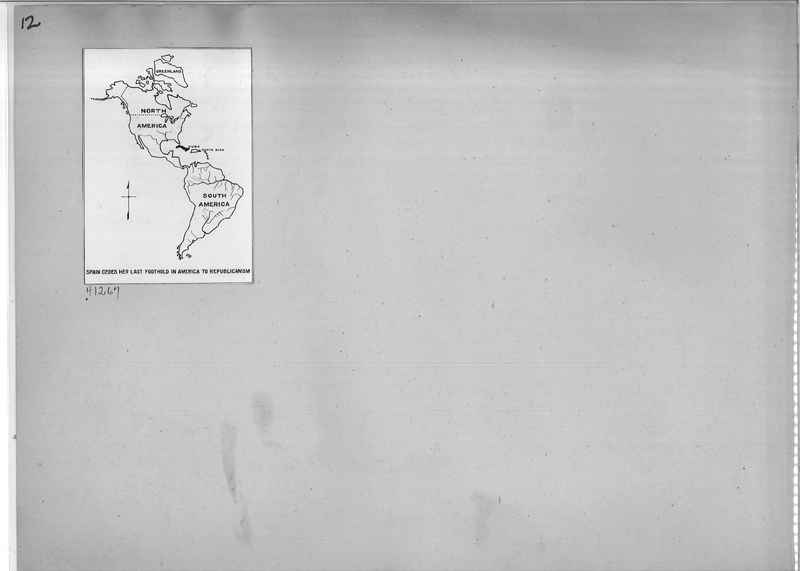
Mission Photograph Album - Maps #01 Page_0012
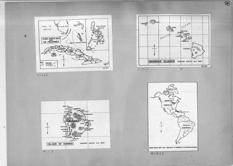
41267 Map showing Spain cedes her last foothold in America to Republicanism
Mission Photograph Album - Maps #01 Page_0026
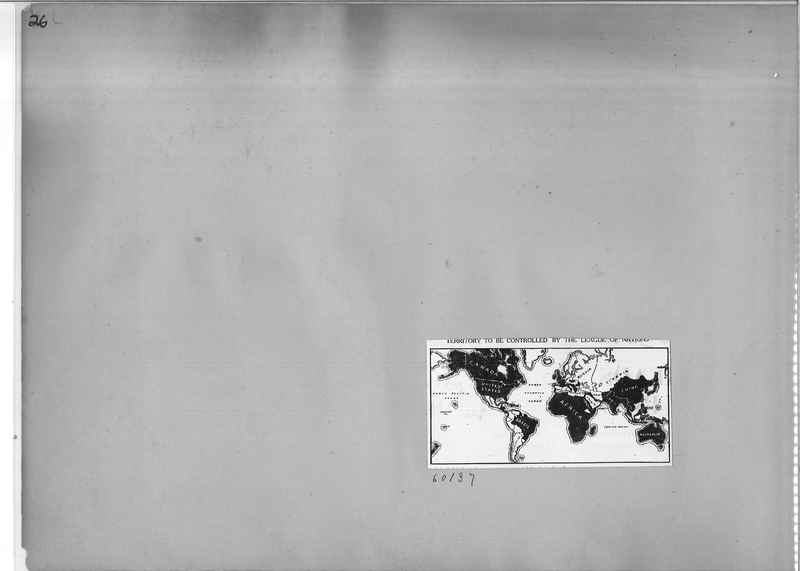
60137 Map of Territory to be controlled by the League of Nations
Mission Photograph Album - Maps #01 Page_0027
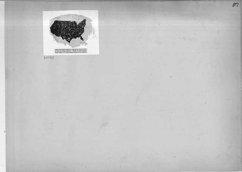
60195 Map of United States comparing population of United States to South America and monetary wealth of United States and the whole world minus Europe
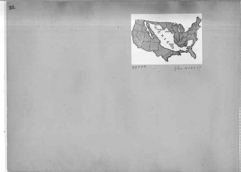
Mission Photograph Album - Maps #01 Page_0032
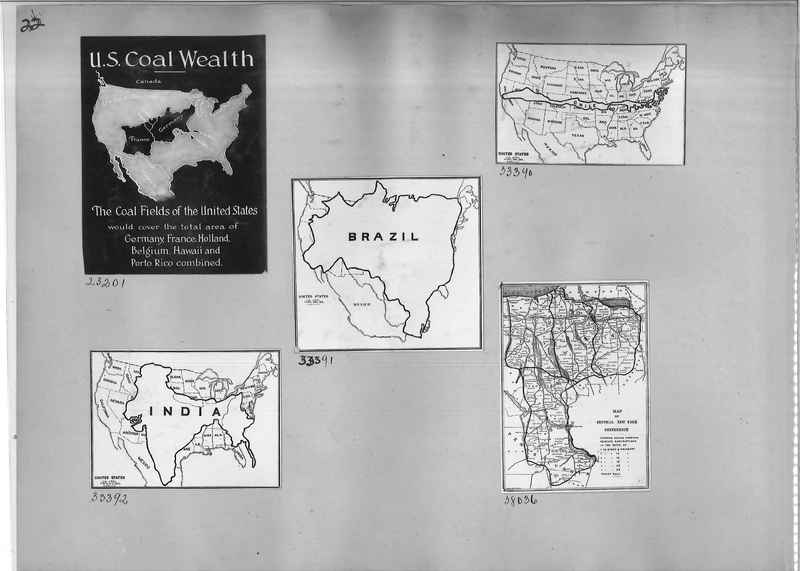
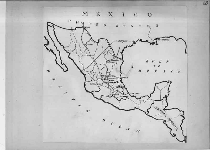
43099 Map comparing the size of the United States with the size of Mexico
Mission Photograph Album - Maps #01 Page_0038
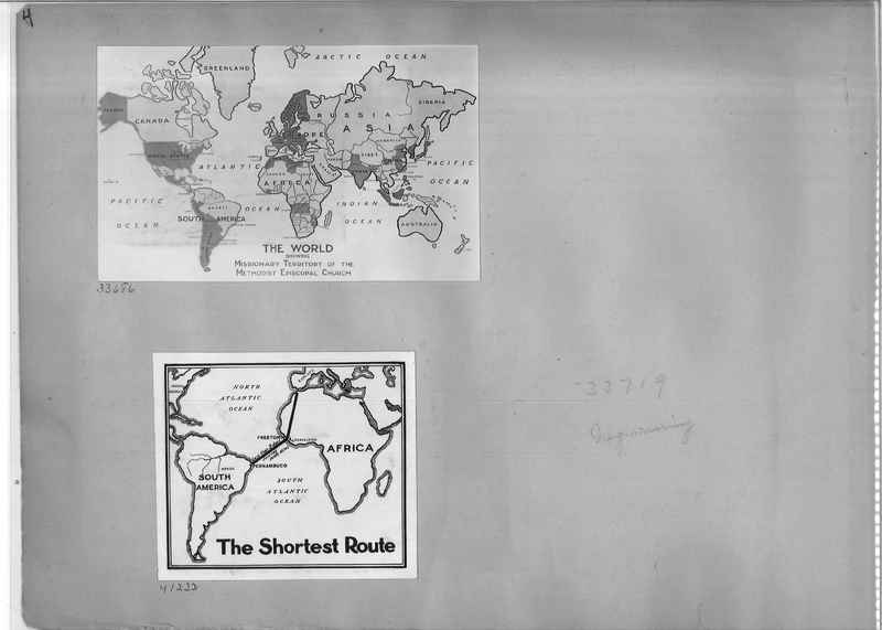
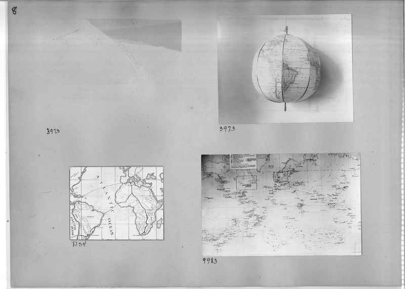
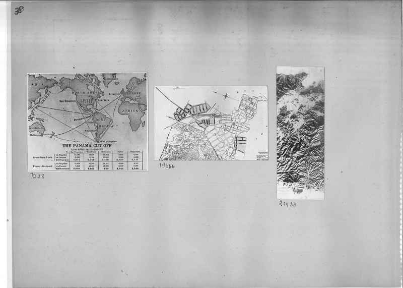
7228 World map showing "The Panama Cut Off" with comparative distances.
19666 map
20433 map
19666 map
20433 map
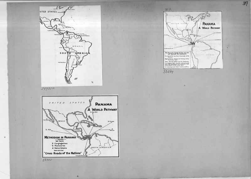
Mission Photograph Album - Maps #01 Page_0039
28781a Map of South America, Mexico, and Central America
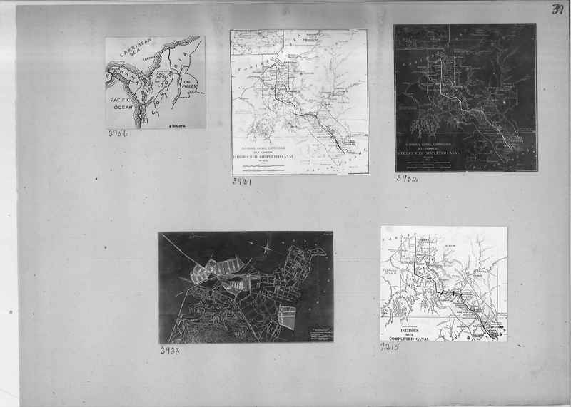
88284 Map of Panama with Panama Canal included
38055 Map show Methodism in Panama
88284 Map of Panama with Panama Canal included
38055 Map show Methodism in Panama
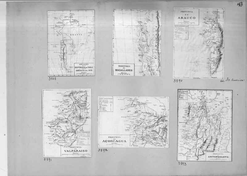
Mission Photograph Album - Maps #01 Page_0043
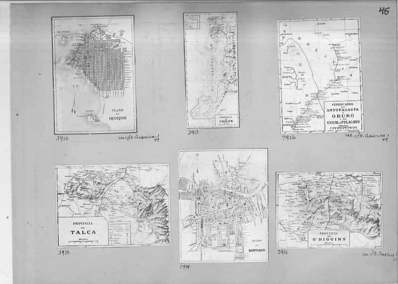
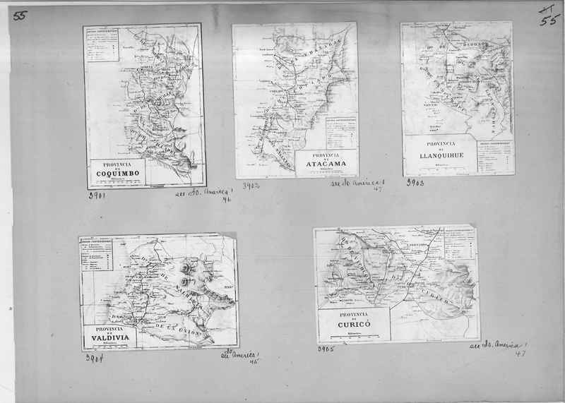
3888 Map denoting the situation in the Republic of Chile in South America
Map of the Territory of Magallanes
3890 Map of the Province of Arauco, Chile
3891 Map of Province of Valparaiso, Chile
3892 Map of Province of Acongagua, Chile
3893 Map of Province of Antofagasta, Chile
Map of the Territory of Magallanes
3890 Map of the Province of Arauco, Chile
3891 Map of Province of Valparaiso, Chile
3892 Map of Province of Acongagua, Chile
3893 Map of Province of Antofagasta, Chile
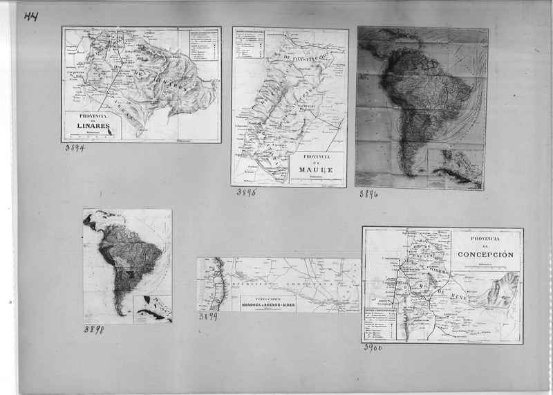
Mission Photograph Album - Maps #01 Page_0044
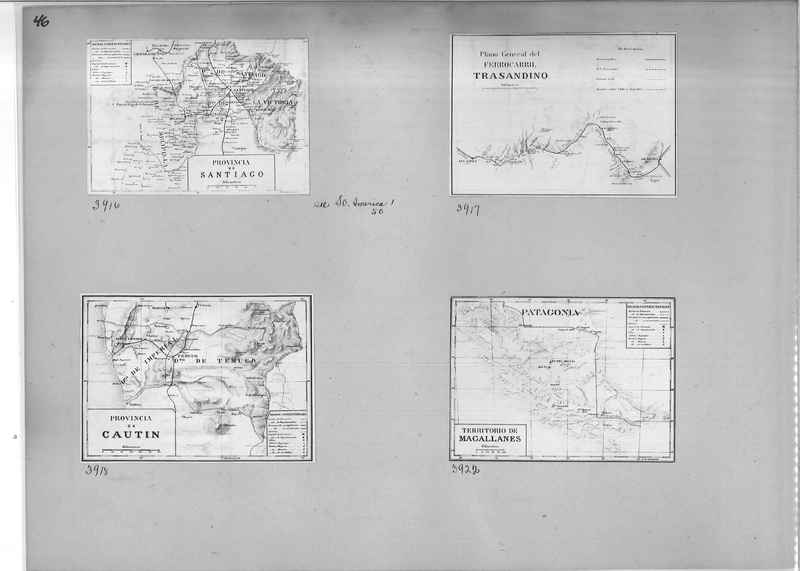
3894 Map of Linares Province
3895 Map of Maule Province
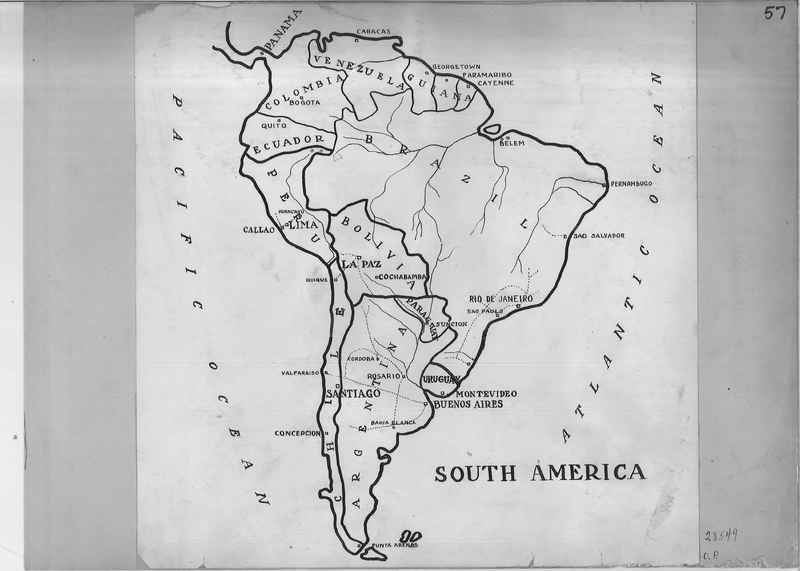
3896 Map of South America
3898 Map of South America
3899 map of Mendoza to Buenos-Aires
3900 Map of Concepcion
3895 Map of Maule Province
3896 Map of South America
3898 Map of South America
3899 map of Mendoza to Buenos-Aires
3900 Map of Concepcion
Mission Photograph Album - Maps #01 Page_0047
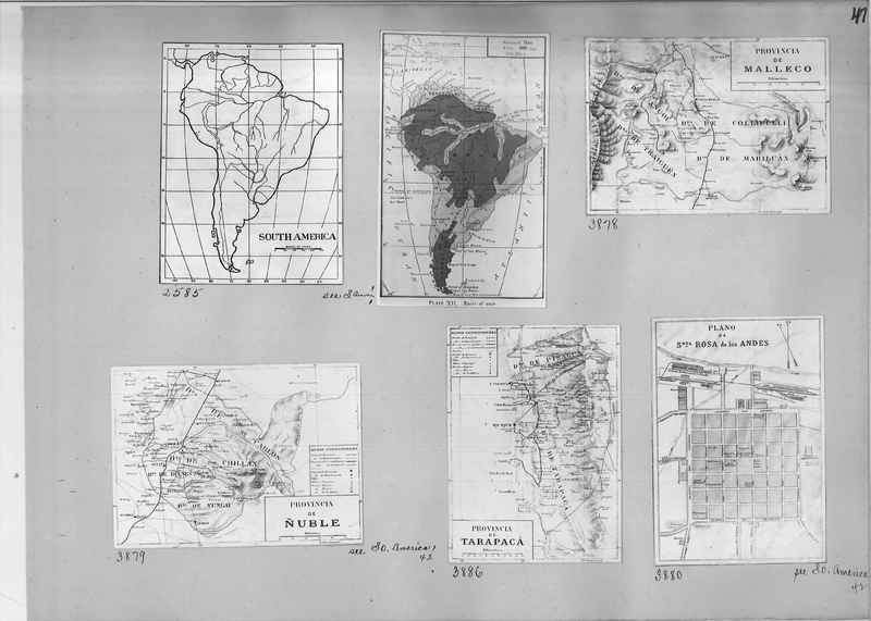
2585 Map of South America
3878 Map of Malleco Province (Malleco Province is one of two provinces in the southern Chilean region of La Araucanía)
3879 Map of Nuble Province (Ñuble Province is one of four provinces of the Chilean region of Bío Bío)
3886 Map of Tarapaca' Province (Tarapacá is a region in northern Chile, bordering Bolivia.)
3880 Map of Santa Rosa de los Andes
Mission Photograph Album - Maps #01 Page_0048
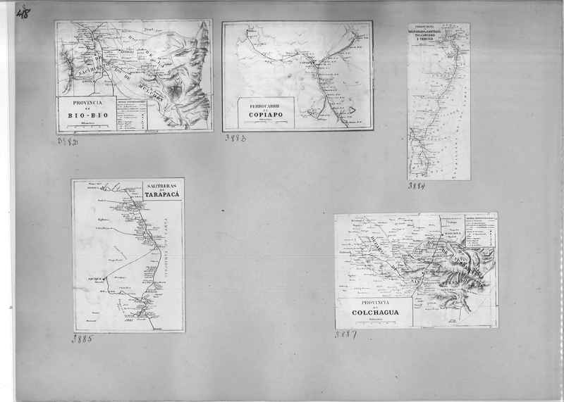
3882 Map of The Bío Bío Region It is one of Chile's fifteen first-order administrative divisions; it is divided into four provinces: Arauco, Bío Bío, Concepción, and Ñuble.
3883 map of Copiapo rail system
3885 Map of Tarapaca'
3887 Map of Colchagua
3883 map of Copiapo rail system
3885 Map of Tarapaca'
3887 Map of Colchagua
Mission Photograph Album - Maps #01 Page_0049
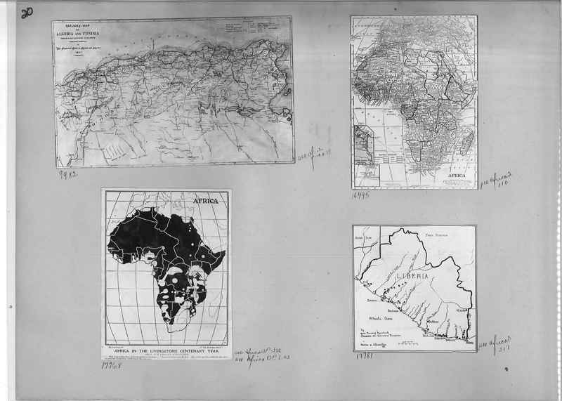
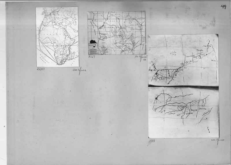
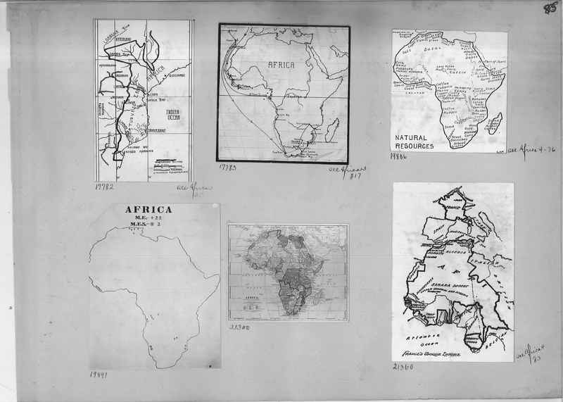
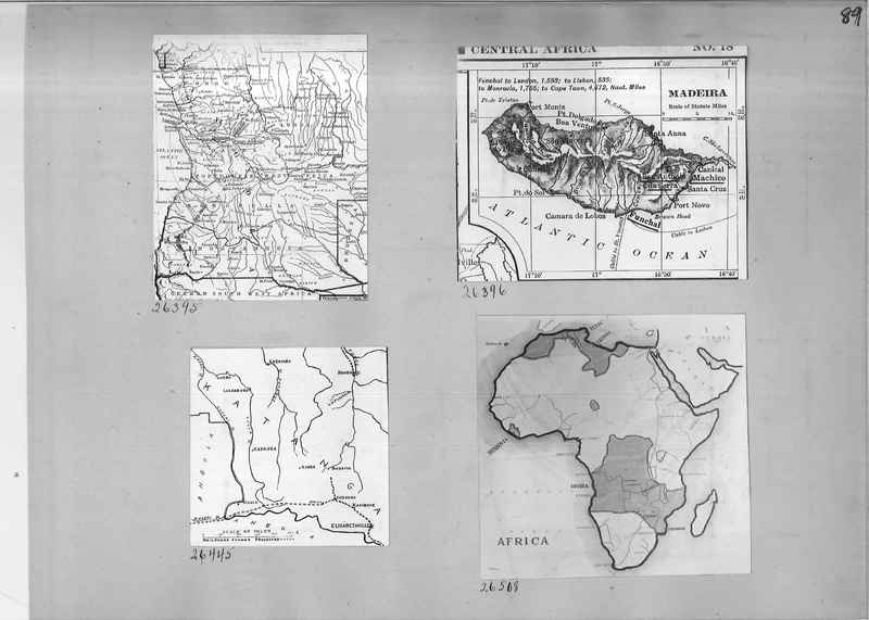
2201 Map of Africa
3167 Map of Central Africa 1915
3318 hand drawn maps of Africa
3167 Map of Central Africa 1915
3318 hand drawn maps of Africa
Mission Photograph Album - Maps #01 Page_0050
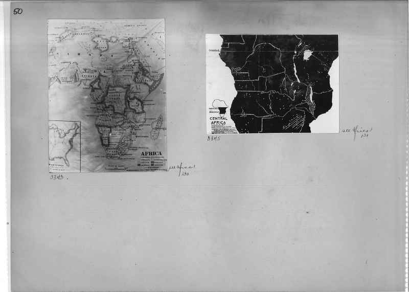
3343 Map of Africa showing Colonial Possessions
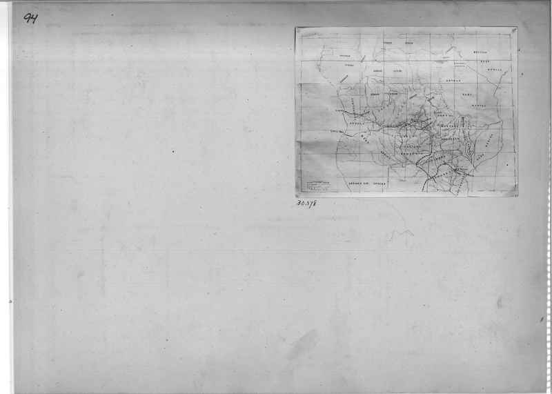
3345 Map of Central Africa
3345 Map of Central Africa
Mission Photograph Album - Maps #01 Page_0051
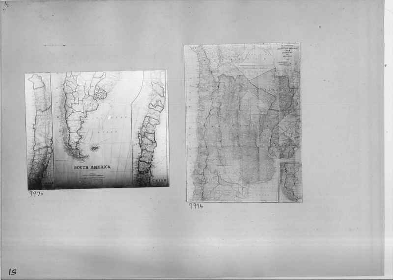
9975 Map of South America and Chile
9976 Map of Argentine Republic, Chile, Paraguay and Uruguay
9976 Map of Argentine Republic, Chile, Paraguay and Uruguay
Mission Photograph Album - Maps #01 Page_0052
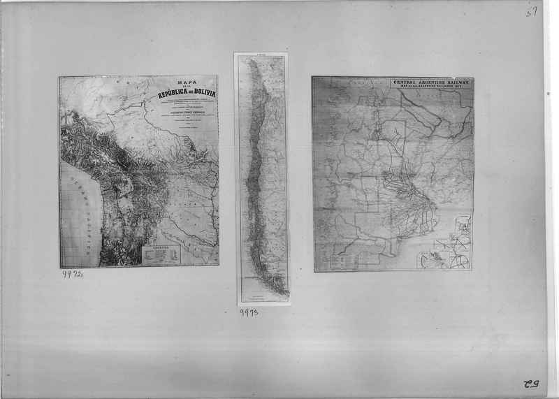
9972 Map of Bolivia
9973 Map of Chile
Map of Central Argentine Railway 1913
9973 Map of Chile
Map of Central Argentine Railway 1913
Mission Photograph Album - Maps #01 Page_0053
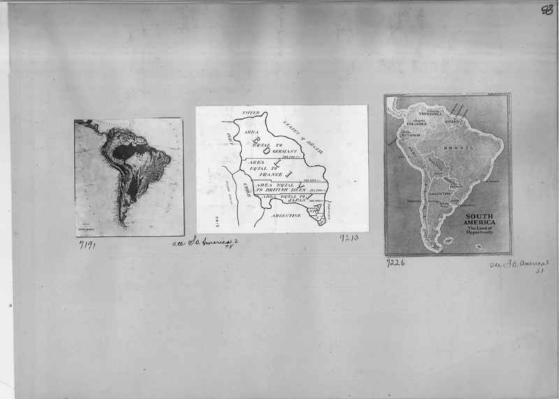
7191 Map of South America
7213 Map of Bolivia comparing size with Germany, France, British Isles, Japan, New Hampshire, New Jersey and Connecticut
7226 Map of South American, The Land of Opportunity
7213 Map of Bolivia comparing size with Germany, France, British Isles, Japan, New Hampshire, New Jersey and Connecticut
7226 Map of South American, The Land of Opportunity
Mission Photograph Album - Maps #01 Page_0054
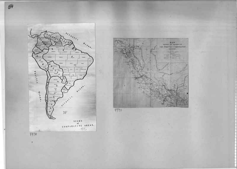
9970 Study of Comparative Areas of South America map
9971 Map of the Peruvian Railroad
9971 Map of the Peruvian Railroad
Mission Photograph Album - Maps #01 Page_0056
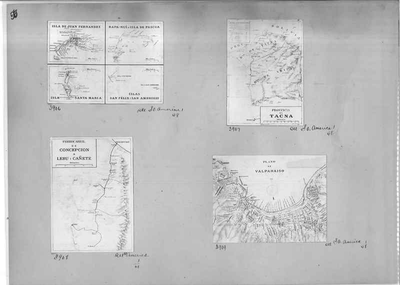
3906 Map comparing Islands of South America
3907 Map of the Providence of Tacna
3908 Map of the Railway system from Concepcion to Lebu' and Canete
3909 Map of Valparaiso
3907 Map of the Providence of Tacna
3908 Map of the Railway system from Concepcion to Lebu' and Canete
3909 Map of Valparaiso
Mission Photograph Album - Maps #01 Page_0059
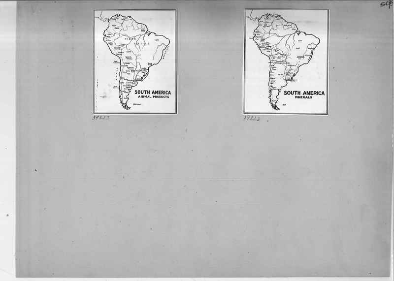
39322 Map of South America denoting Animal Products
39323 Map of South America denoting minerals
39323 Map of South America denoting minerals
Mission Photograph Album - Maps #01 Page_0061
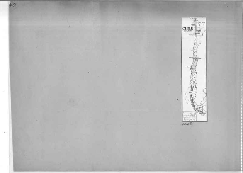
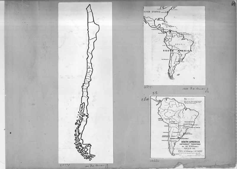
28771 Outline map of Chile
28781 Outline map of Mexico and South America
33286 South America Methodist Territory map
28781 Outline map of Mexico and South America
33286 South America Methodist Territory map
Mission Photograph Album - Maps #01 Page_0062
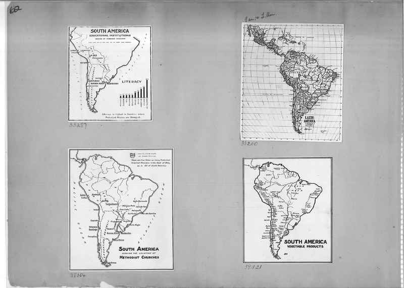
33287 Map of South America
Educational Institutions
Board of Foreign Missions
33200 Map of Latin America
38054 Map of South America showing the location of Methodist Churches
39321 Map of South American Vegetable Products
Educational Institutions
Board of Foreign Missions
33200 Map of Latin America
38054 Map of South America showing the location of Methodist Churches
39321 Map of South American Vegetable Products
Mission Photograph Album - Maps #01 Page_0063
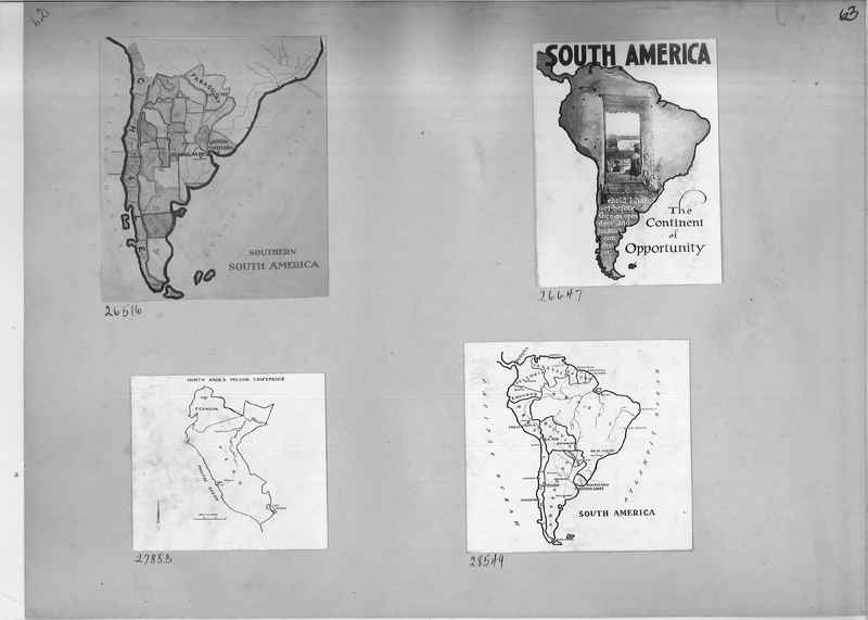
26516 Map of Southern South America
26647 Poster of South American, The Continent of Opportunity
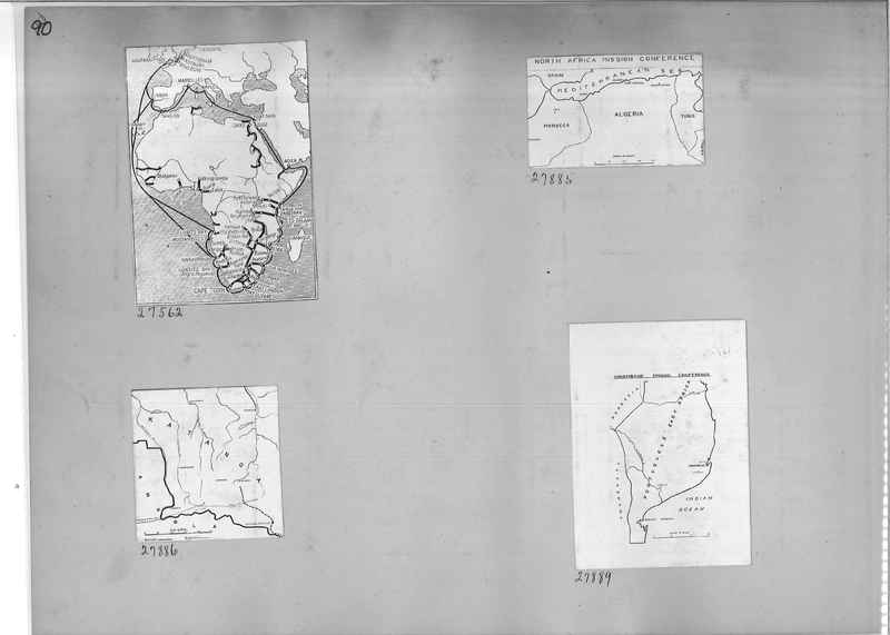
27883 Map of North Andes Mission Conference
28549 Map of South America
26647 Poster of South American, The Continent of Opportunity
27883 Map of North Andes Mission Conference
28549 Map of South America
Mission Photograph Album - Maps #01 Page_0064
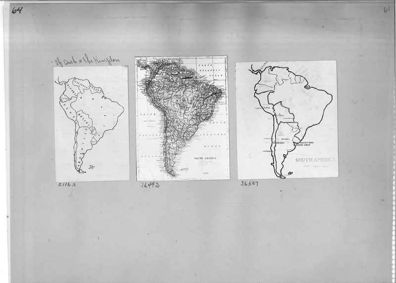
21163 Map of South America with added caption, "Of such is the Kingdom"
26442 Comprehensive map of South America
26507 Map of South American
26442 Comprehensive map of South America
26507 Map of South American
Mission Photograph Album - Maps #01 Page_0065
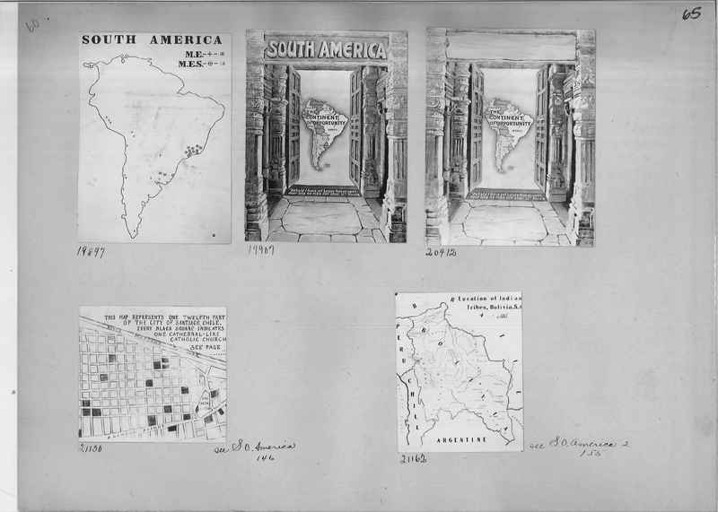
19897 Outline map of South America
1997 Map of the Continent Opportunity of South America
20412 Map of the Continent Opportunity of South America
21130 Map of part of the city of Santiago, Chile denoting Catholic Churches.
21162 Map showing the location of Indians Tribes in Bolivia, South America
1997 Map of the Continent Opportunity of South America
20412 Map of the Continent Opportunity of South America
21130 Map of part of the city of Santiago, Chile denoting Catholic Churches.
21162 Map showing the location of Indians Tribes in Bolivia, South America
Mission Photograph Album - Maps #01 Page_0066
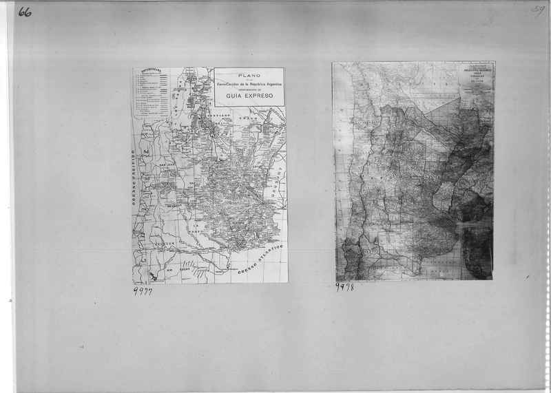
9977 Map of Argetina
9978 Map of Argentine Republic, Chile, Paraguay and Uruguay
9978 Map of Argentine Republic, Chile, Paraguay and Uruguay
Mission Photograph Album - Maps #01 Page_0067
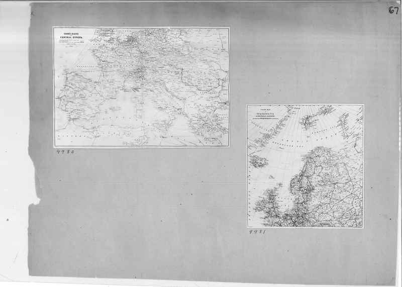
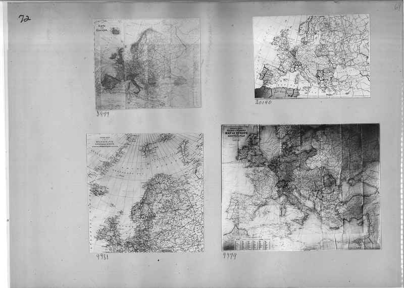
9980 Cook' Karte of Central Europe
9981 Cook's map of Scandinavia and Northern Europe
9981 Cook's map of Scandinavia and Northern Europe
Mission Photograph Album - Maps #01 Page_0068
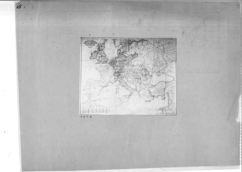
9979 Bartholomew's Railway and steamship Map of Europe and the Mediterranean.
Mission Photograph Album - Maps #01 Page_0069
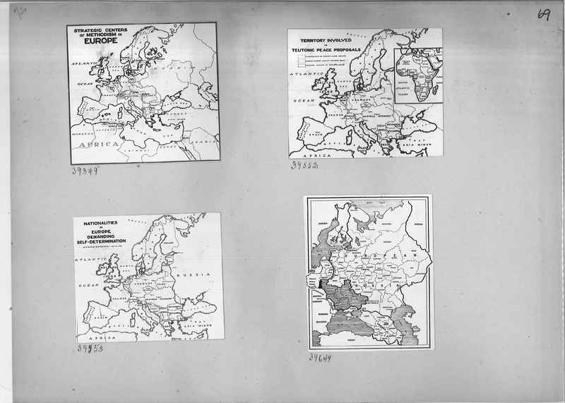
39349 Strategic Center of Methodism in Europe map
39552 Territory involved in Teutonic Peace Proposals map
39553 Nationalities in Europe Demanding Self-Determination map
39649 European Russia map
39552 Territory involved in Teutonic Peace Proposals map
39553 Nationalities in Europe Demanding Self-Determination map
39649 European Russia map
Mission Photograph Album - Maps #01 Page_0070
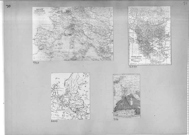
9980 Cook's map of Central Europe
16997 Map of Balkan States
20141 Map of Eastern Europe
7186 Map showing Paris, Lyons and Mediterranean Railway system and it's connections
16997 Map of Balkan States
20141 Map of Eastern Europe
7186 Map showing Paris, Lyons and Mediterranean Railway system and it's connections
Mission Photograph Album - Maps #01 Page_0071
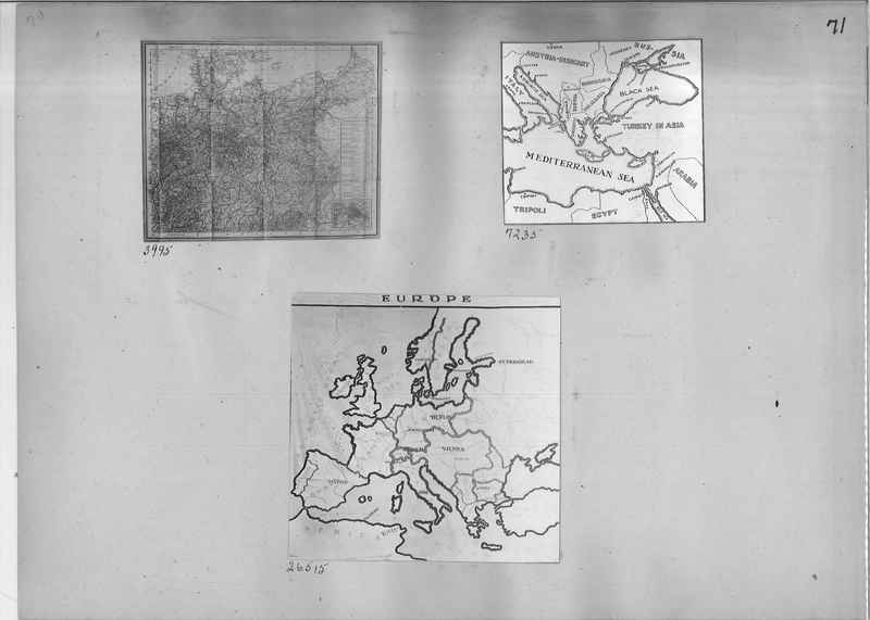
3995 Map
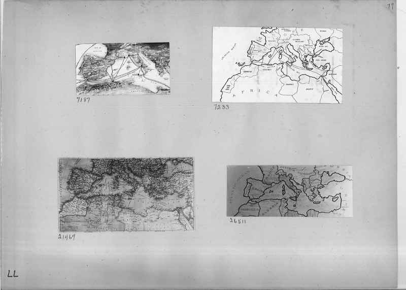
72335 Map of Mediterranean Sea and surrounding Countries
26515 Map of Europe
72335 Map of Mediterranean Sea and surrounding Countries
26515 Map of Europe
Mission Photograph Album - Maps #01 Page_0073
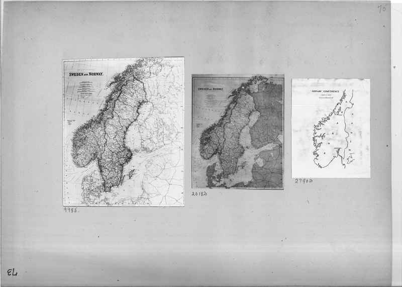
9985 Map of Sweden and Norway
20182 Map of Sweden and Norway
27902 Map of the Norway Conference
20182 Map of Sweden and Norway
27902 Map of the Norway Conference
Mission Photograph Album - Maps #01 Page_0075
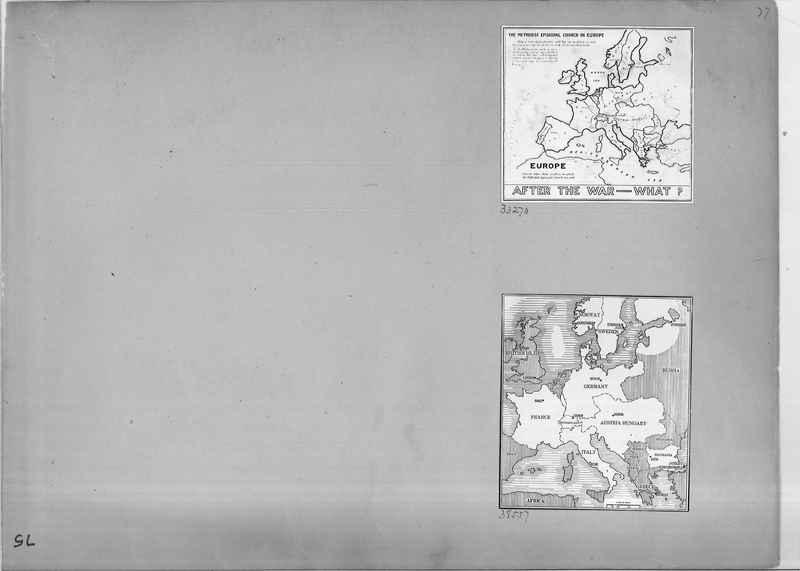
33270 The Methodist Episcopal Church in Europe map
38557 Map of Europe and surrounding countries
38557 Map of Europe and surrounding countries
Mission Photograph Album - Maps #01 Page_0081
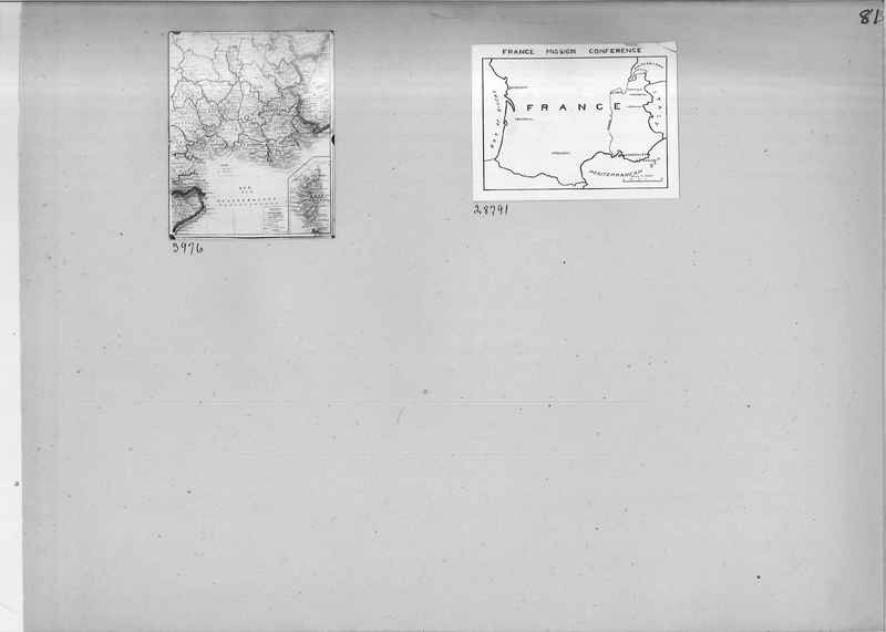
3976 Mediterranean map
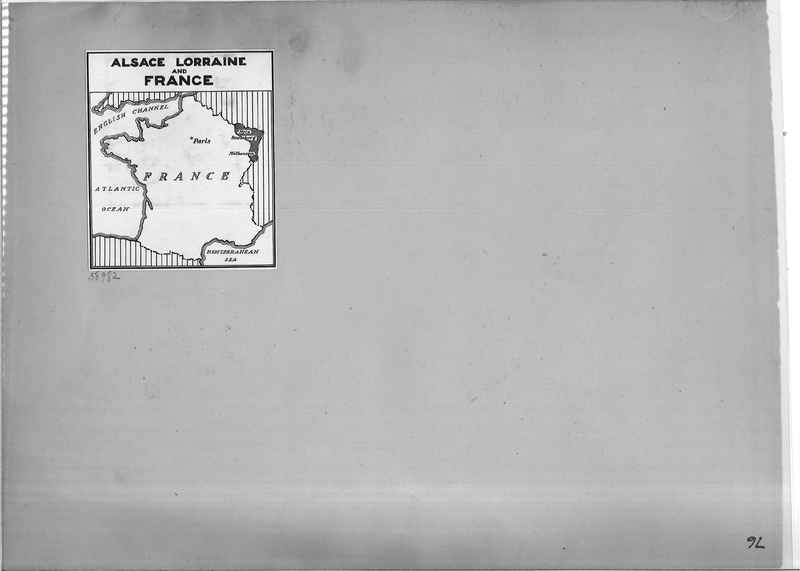
28791 France Mission Conference map
28791 France Mission Conference map
Mission Photograph Album - Maps #01 Page_0083
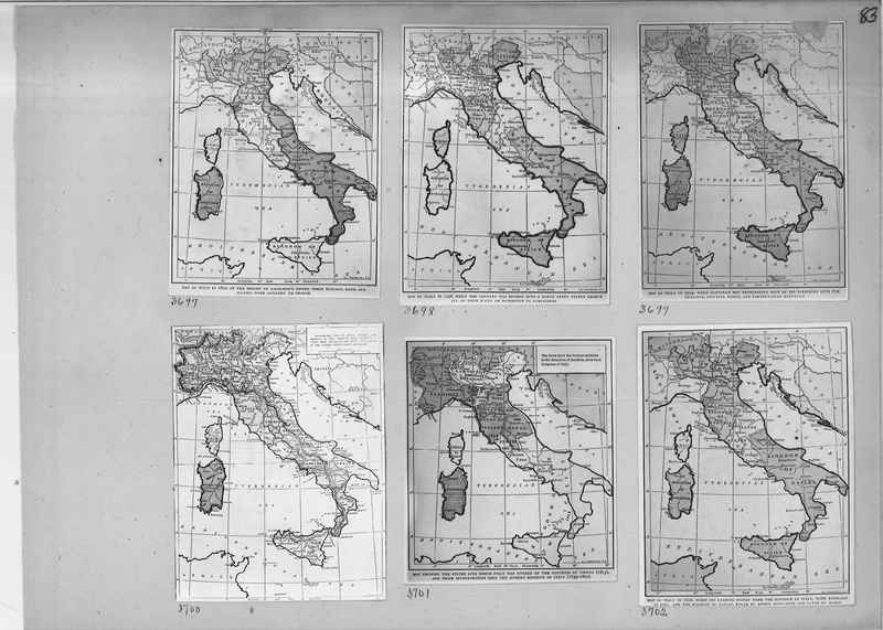
3697 Map of Italy in 1810
3698 Map of Italy 1796
3699 Map of Italy in 1799
3700 "present day" Italy map
3701 Map showing the states into which Italy was divided by the Congress of Vienna (1815) and their incorporation into the modern kingdom of Italy (1859-1870)
3702 Map of Italy in 1806
3698 Map of Italy 1796
3699 Map of Italy in 1799
3700 "present day" Italy map
3701 Map showing the states into which Italy was divided by the Congress of Vienna (1815) and their incorporation into the modern kingdom of Italy (1859-1870)
3702 Map of Italy in 1806
Mission Photograph Album - Maps #01 Page_0084
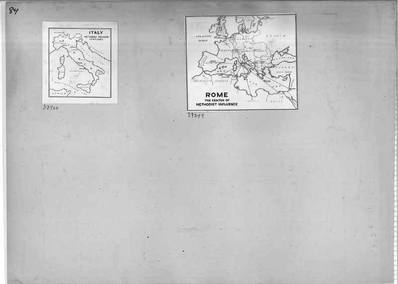
33700 Map of Italy Methodist Mission Stations
39348 Map of Rome the Center of Methodist Influence
39348 Map of Rome the Center of Methodist Influence
Mission Photograph Album - Maps #01 Page_0086
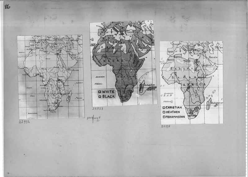
22972 Map of Africa
22973 Map of Africa
22974 Map of Africa
22973 Map of Africa
22974 Map of Africa
Mission Photograph Album - Maps #01 Page_0087
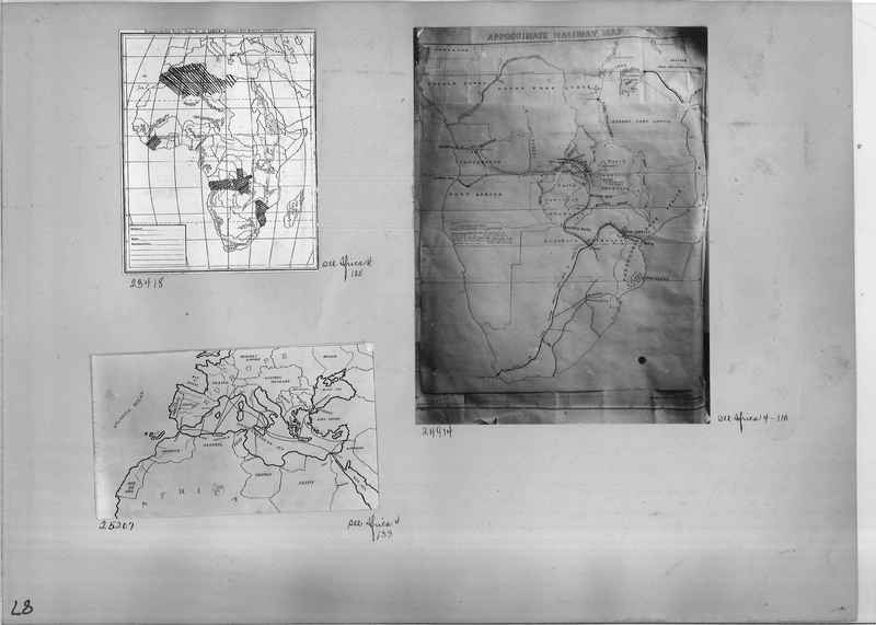
23418 Map of Africa
24914 Map of Africa with Approximate Railways
25207 Map of European Countries
24914 Map of Africa with Approximate Railways
25207 Map of European Countries
Mission Photograph Album - Maps #01 Page_0092
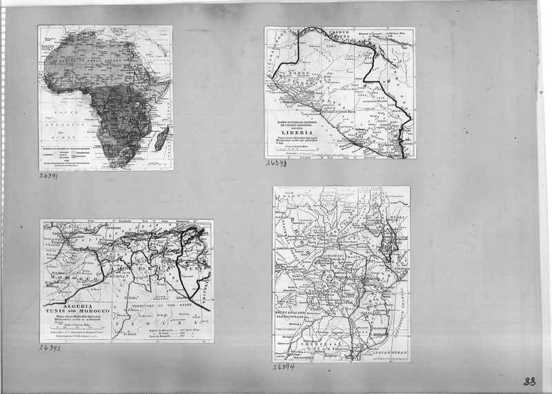
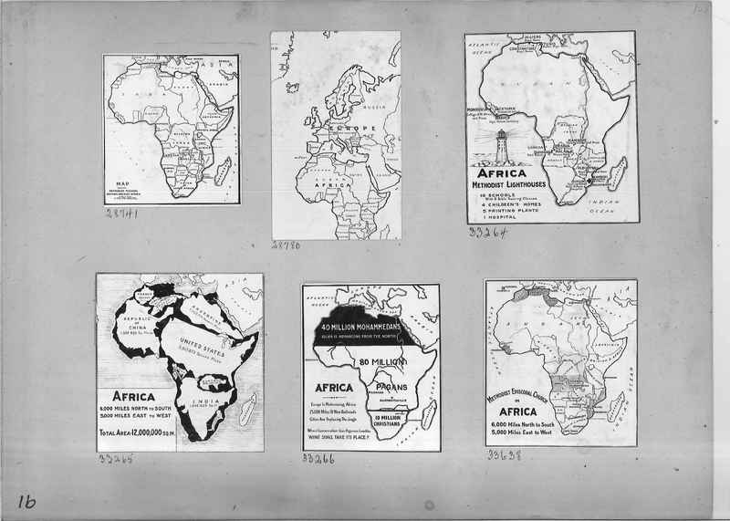
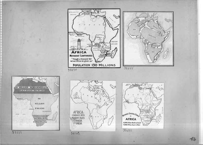
38074 Map of Africa Methodist Lighthouses
38555 Comparative map of Africa and other countries of the world in size.
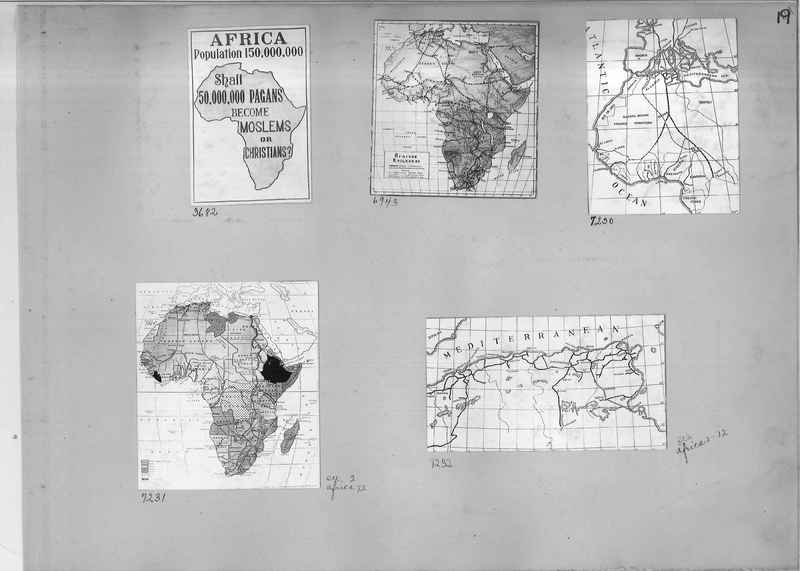
38558 Comparative map of Mohammedans, Pagans, and Christians
39703 Map comparing Africa with British Isles, Canada and India
38638 Map of Methodist Episcopal Church in Africa
38555 Comparative map of Africa and other countries of the world in size.
38558 Comparative map of Mohammedans, Pagans, and Christians
39703 Map comparing Africa with British Isles, Canada and India
38638 Map of Methodist Episcopal Church in Africa
Mission Photograph Album - Maps #01 Page_0095
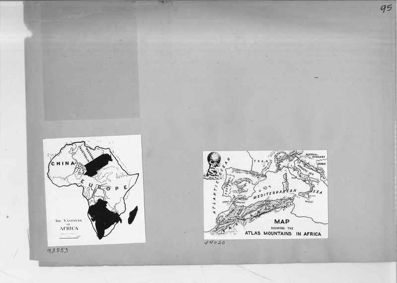
93053 Map showing the vastness of Africa
44020 Map showing the Atlas Mountains in Africa
44020 Map showing the Atlas Mountains in Africa
Mission Photograph Album - Maps #01 Page_0097
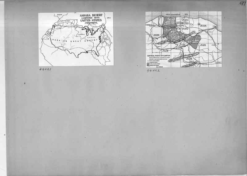
44021 Map comparing the Shara Desert with the United States
44022 Central part of Kabylia map
44022 Central part of Kabylia map
Mission Photograph Album - Maps #01 Page_0098
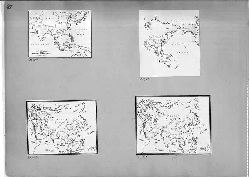
28750 Map of Asia
28782 Map of Asia
40001 Map of Europe and Asia
39272 Map of Europe and Asia
28782 Map of Asia
40001 Map of Europe and Asia
39272 Map of Europe and Asia
Mission Photograph Album - Maps #01 Page_0099
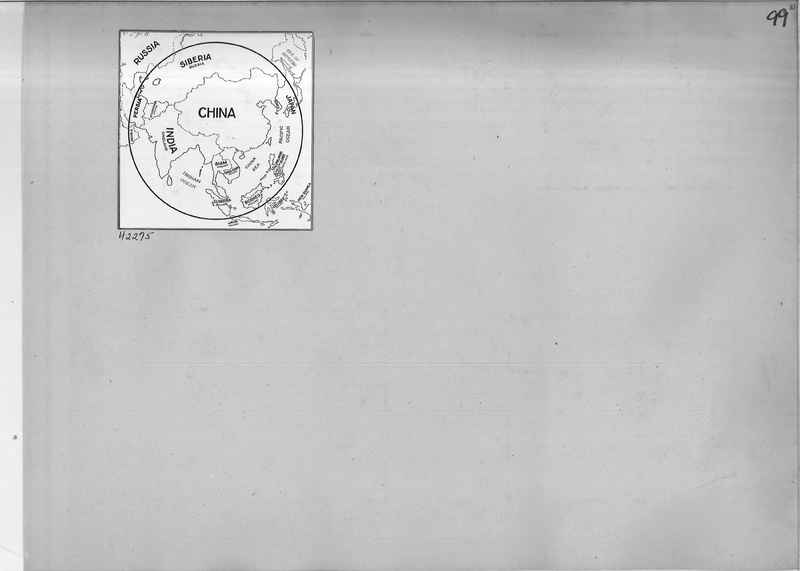
42275 Globe like map of China and surrounding countries
Mission Photograph Album - Maps #01 Page_0100
62552 map of Countries between the Equator and the Tropic of Cancer
Mission Photograph Album - Maps #01 Page_0104
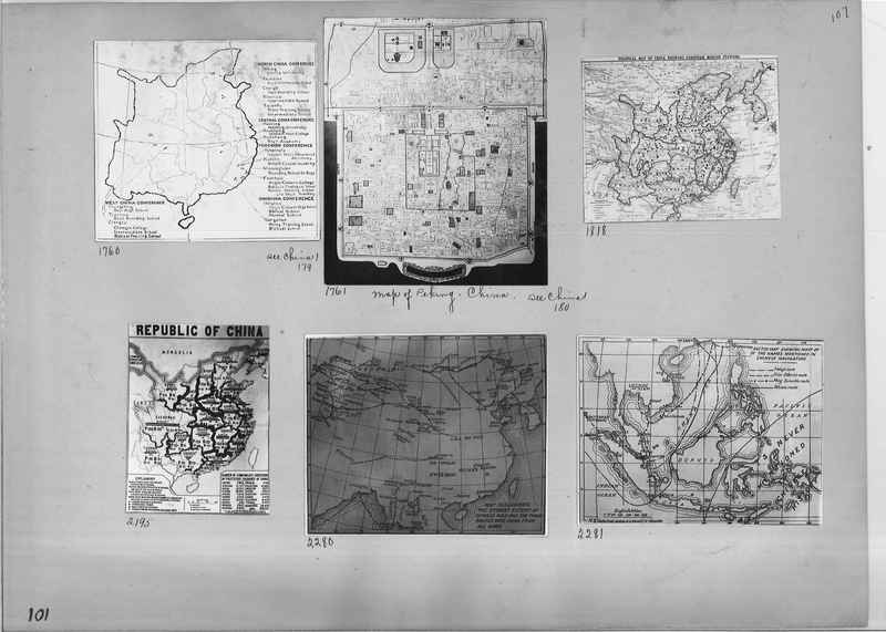
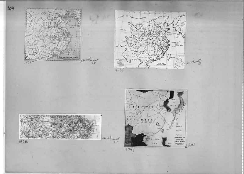
14784 See China 4, 48
14795 See China 4, 51
14796 See China 4, 51
14797
14795 See China 4, 51
14796 See China 4, 51
14797
Mission Photograph Album - Maps #01 Page_0139
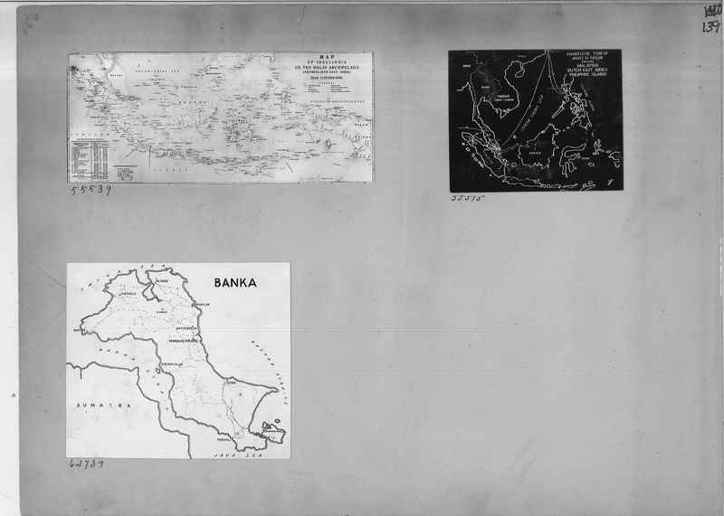
55539 Map of Insulindia (Insulindia is a somewhat archaic geographical term for Maritime Southeast Asia, equivalent in usage to Australasia and Indochina, and encompassing the entire area situated between the two. or The Malay Archipelago - The Malay Archipelago is the archipelago between mainland Indochina and Australia.)
55575 Map of Evangelistic Tour of James M. Taylor through Malaysia, Dutch East Indies and Philippine Islands.
62739 Map of Banka
55575 Map of Evangelistic Tour of James M. Taylor through Malaysia, Dutch East Indies and Philippine Islands.
62739 Map of Banka
Mission Photograph Album - Maps #01 Page_0141
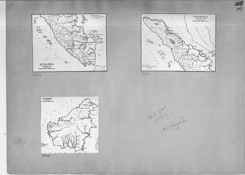
39050 Map of Sumatra
39051 Map of Sumatra
39052 Map of Borneo
39051 Map of Sumatra
39052 Map of Borneo
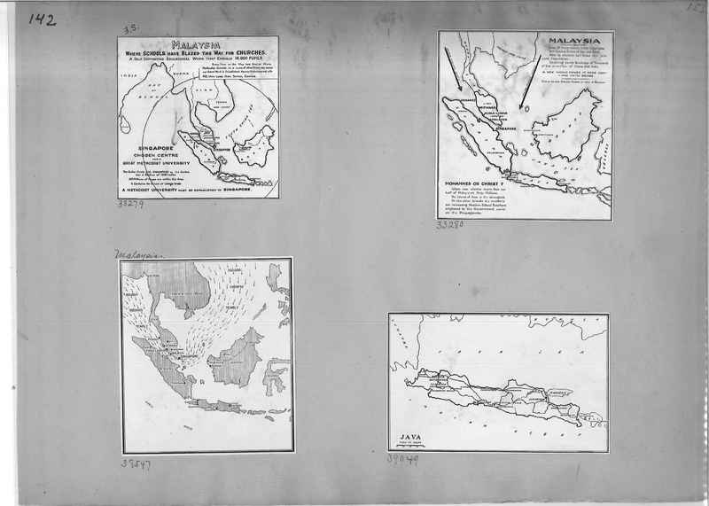
Mission Photograph Album - Maps #01 Page_0142
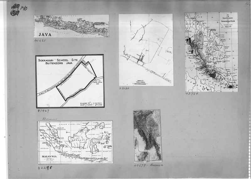
38279 Map of Malaysia
33280 Map of Malaysia
38547 Map of Malaysia
39049 Map of Java
33280 Map of Malaysia
38547 Map of Malaysia
39049 Map of Java
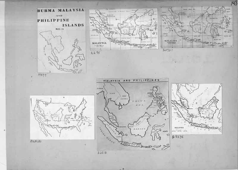
Mission Photograph Album - Maps #01 Page_0143
19899 Map of Burma Malaysia and Philippine Islands
2275 Map of Malaysia
20701 Map of Malaysia
26212 Map of the United States
26510 Map of Malaysia and Philippines
28538 Map of Malaysia
2275 Map of Malaysia
20701 Map of Malaysia
26212 Map of the United States
26510 Map of Malaysia and Philippines
28538 Map of Malaysia
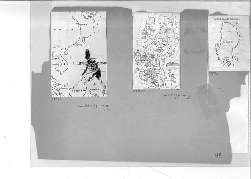
Mission Photograph Album - Maps #01 Page_0145
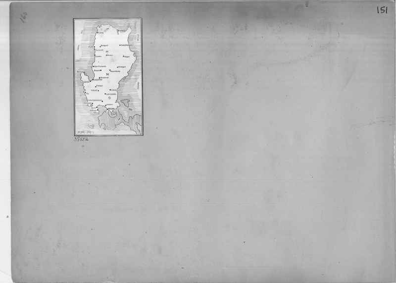
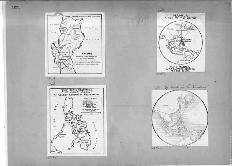
25910 Map of Philippine Islands
26448 Map of Board of Foreign Missions Methodist Episcopal Church Luzon, Philippine Islands.
27890 Philippine Islands Conference map
26448 Map of Board of Foreign Missions Methodist Episcopal Church Luzon, Philippine Islands.
27890 Philippine Islands Conference map
Mission Photograph Album - Maps #01 Page_0147
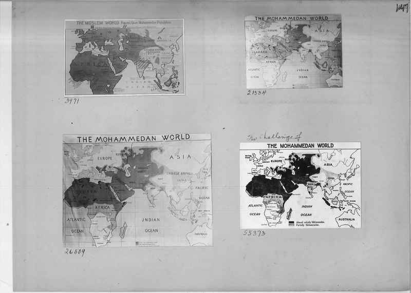
3971 The Moslem World map
21334 The Mohammedan World map
26509 The Mohammedan World map
55373 The Challenge of the Mohammedan World map
21334 The Mohammedan World map
26509 The Mohammedan World map
55373 The Challenge of the Mohammedan World map
