Started
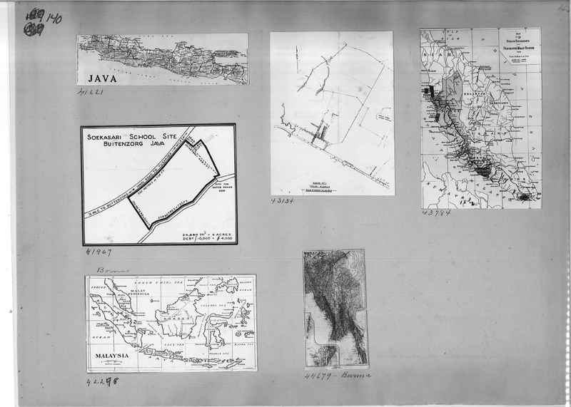
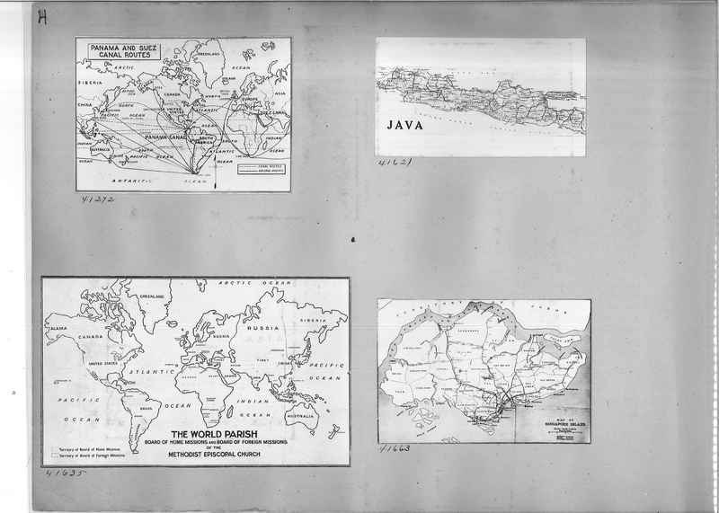
Transcription: 41621 Map, Java
43134 Map, Mukim Number 1. Telok Blanga.
43784 Map of Straits Settlement and Federated Malay States, 1907.
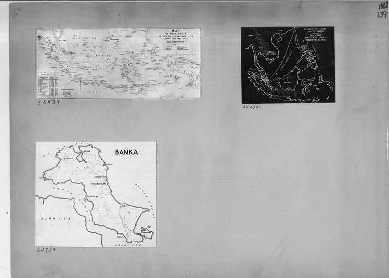
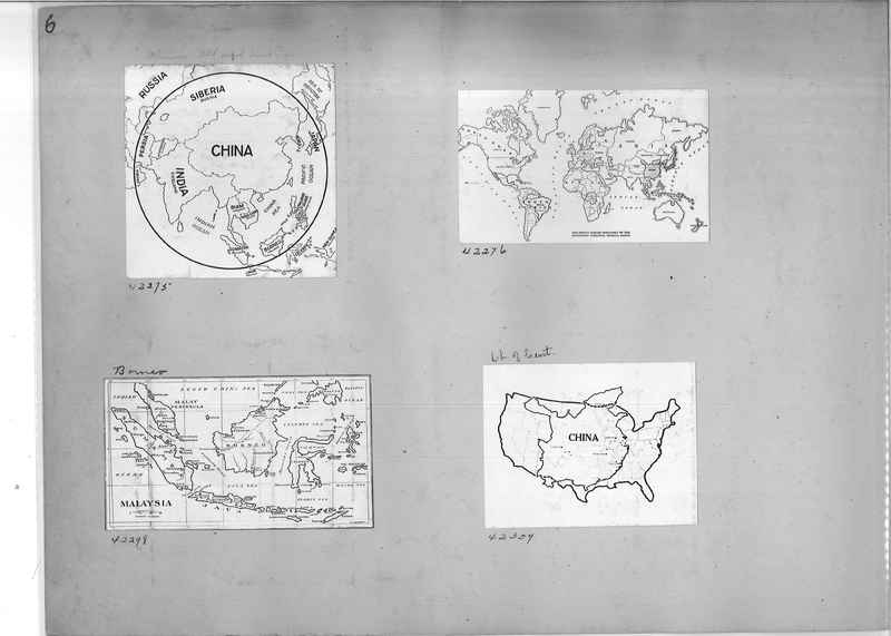
42298 Map of Malaysia
44679 Map of Burma
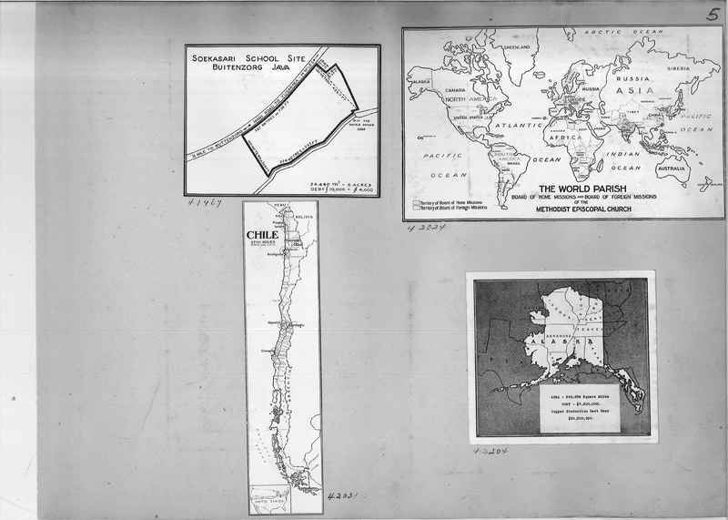
41967 Map of Soekasari School Site, Buitenzorg Java
Usage Permission: For permission to use or for higher quality reproduction contact research@gcah.org